Monday, June 8, 2009

Hike on Mount. Ophir (Gunung Ledang), Johor

Mount Ophir (N2°22.402' E102°36.481')
"
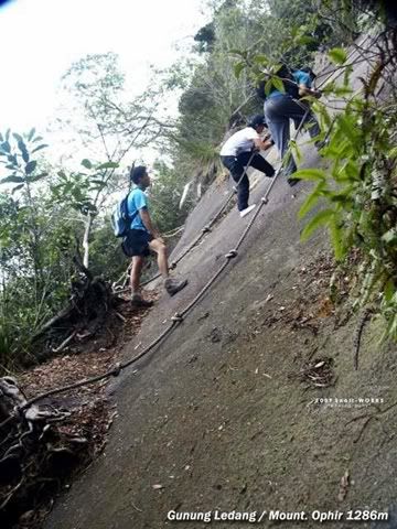
Hikers had rated Gunung Ledang (Mount. Ophir) as the 6th difficult summit trails among Malaysia mountains. There's 4 trails can go up to the summit. Here's the hiker's trail from Gate B, Pusat Operasi Taman Negara Gunung Ledang. Total 8 checkpoints (CP) along the trail. The terrain before CP5 is quite gentle uphill. The KFC session is after CP6 up to CP 8 (summit) ... Along the way there's ropes and ladders to assist. This is not a leisure jungle walk." - By Snail-Works

Welcome to Mount Ophir of Johor

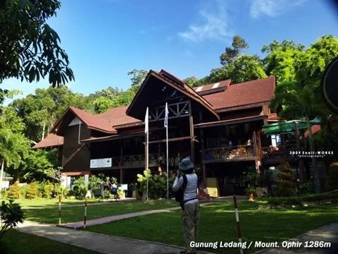
Pusat Operasi Taman Negara Gunung Ledang

"We have not much time to enjoy the scenery due to we were late to the trailhead. There's rule that if anybody cannot reach summit before 3.00pm, he/she must turn back from the point where he/she is. Hikers are not allowed to camp overnight in the park." - By Snail-Works
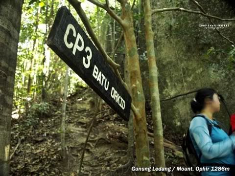
Check Point 3

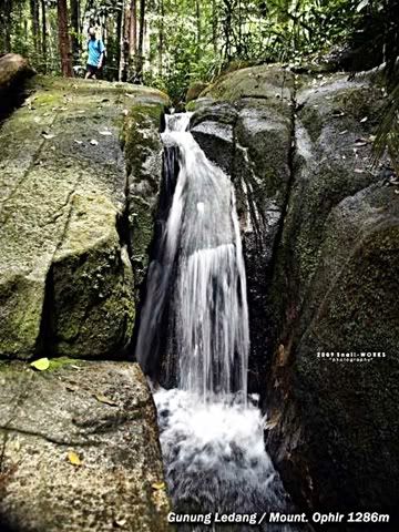
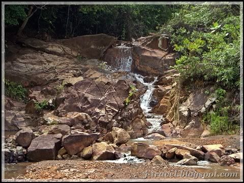
a small cascade near CP5 Sungai Tiga Segi

"I hope next time i can have more time to explore the waterfalls and flora here." - By Snail-Works
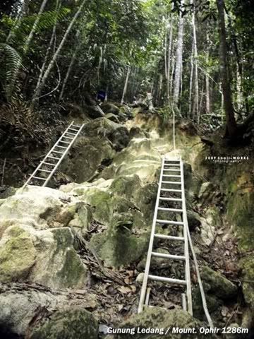
Start of KFC! (KFC = Killing Fitness Centre)
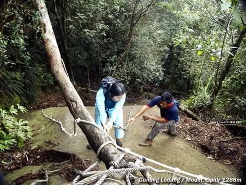
guide is guiding us how to cross the big boulder
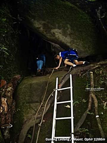
CP6 Gua (Cave) Kambing

continue of rock ascent

There must at least few hours of climb & hike to reach the peak of Mount Ophir. The total trail is about 5.8KM from the start point.
I might not fit enough for the trail....Hopefully one day the National Park is open for camping overnight, then...maybe I can try. Or else I'm definitely not fit to hike up & down within a day....haha!

Snail-Works and friends finally reach the summit. You can see the satisfaction from the face! :)
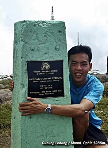
Don't wanna let go !

Magnificient view from Mount Ophir (Gunung Ledang)...
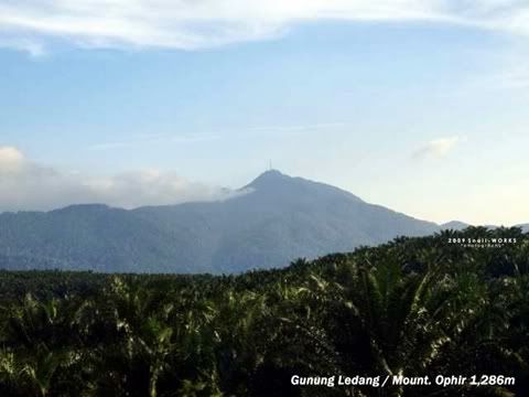
The telekom tower from far view (1.1KM away)
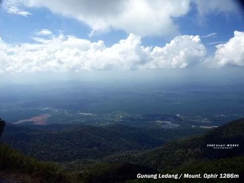
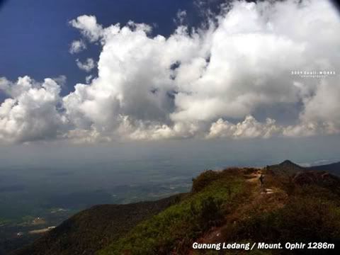

Scenic View from Mount Ophir

The above guide and photos are provided by Snail-Works. Thanks!

Start point to CP5 (Check Point 5) = 3.9KM
The trail length for KFC = 1.9KM
From Point A to B = 5.8KM - 1286m Height
You can refer from the picture below...
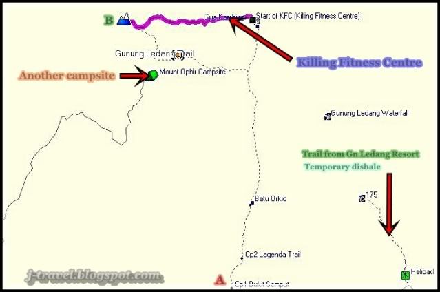
Mount Ophir Hiking Trail - from Malfreemaps.com

You can view the pictures of the other post for Another Campsite from the picture above...

Related post :-
* Camping at Mount Ophir (Gunung Ledang), Johor
* Mount Ophir (Gunung Ledang) Re-Open
* Hike on Mountain (Gunung) Panti, Kota Tinggi, Johor.
* Gunung Ledang Resort (Mount Ophir), Johor


MY TRIPS - Home

Monday, June 1, 2009

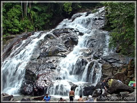
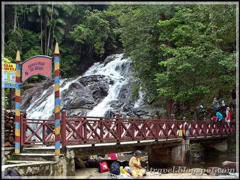
Kota Tinggi Waterfall, Johor

Kota Tinggi Waterfall (N1°49.776' E103°50.048')

It's located about 40KM from Johor C.I.Q. , and another 15KM from Kota Tinggi Town. (Total 55KM). My last visit was about 15 years ago...

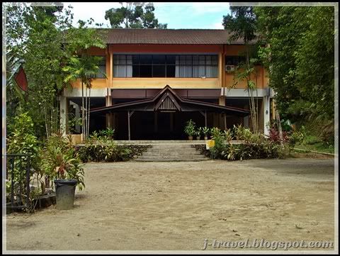
There is one resort located beside the waterfall, but the maintenance is poor....otherwise it will be a very good resort to stay.

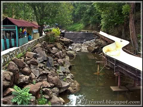
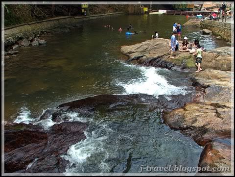
I was there with my family Saturday...the environment is very nice and cooling. There are 2 Tube slide from the fall.


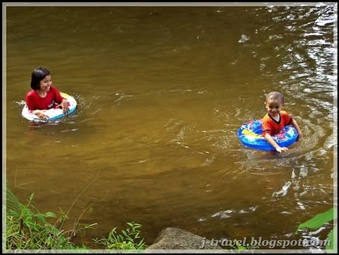
If my memory serve me well, those day the water was crystal clear! But now....it become history...you can see the colour of the water below.

Two kids having fun in the muddy waterfall...

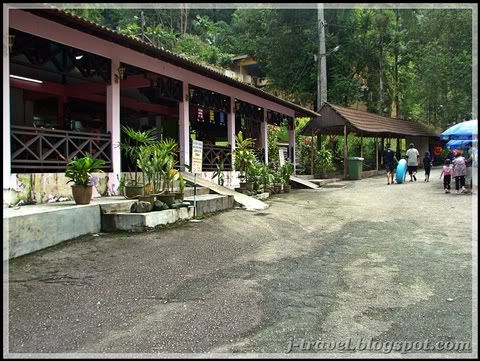
The place was not crowded during our visit. The restaurant was empty, but I wondering was....there is one restaurant in front of the Waterfall (Waterfall View Restaurant) is at the Perfect location where you can enjoy your drink with the Live music play by the waterfall! Too bad, it's closed! The existing restaurant was setup about 300 meters away of the fall....
I was thinking, why can't they make use of the good location?!

The closed restaurant !

The existing restaurant which is far away from the waterfall.

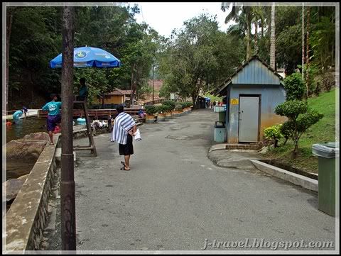
Below are some photos surrounding...

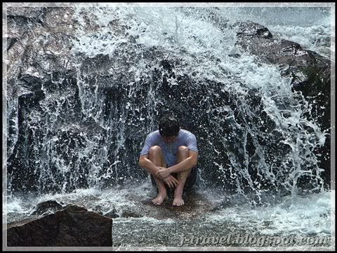
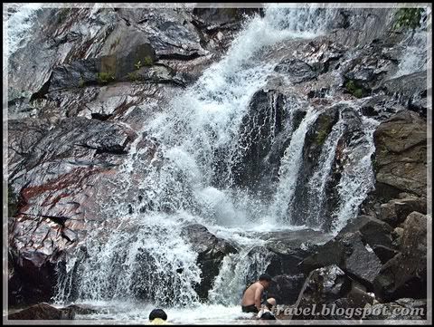
The way he meditate in the waterfall

The water from top...


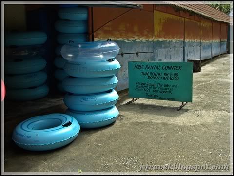
The tube rental counter - MYR5.00 per tube

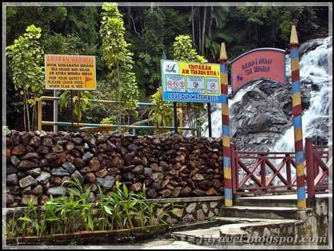
Love our waterfall & warning signage

There will be no foods & drinks after this session, as you can see the guide was make sure everything ok! (The one with the 'Blue' shirt)
Too bad there was not enough time for me to walk on the trek...the trek will lead you to the upper fall. I will do it on my next visit!

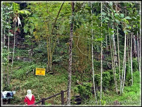
The trek to the upper fall

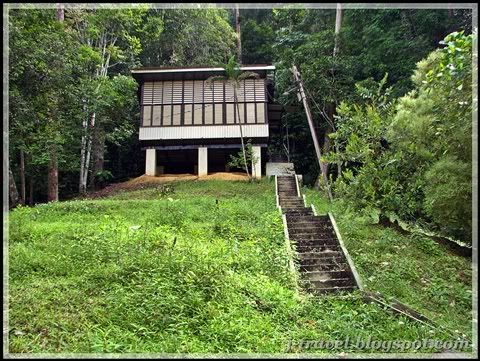
I saw few houses like this (below), I wonder is it the resthouse? Looks abandon today...

Abandon rest house?

According to Snail-Works, there is another waterfall located at the same mountain (Gunung Muntahak, about 500 meter height), it's call Pelepah Waterfall. It's hiding in the jungle, you need to trek in from the small stream which appear in front of the Kota Tinggi Waterfall, experience guide is recommended.
So I took the photos below, wondering is this 'Stream' mention by Snail-works??

The small cascade in front of Kota Tinggi Fall
(It was at the right if you wlk towards the fall)


Latest update from Snail-works :-
"The stream is before the parking lot. Do you remember before entering the ticket counter, there's oil palm plantation on your left and you drive cross a bridge... the river name Sg Pelepah Kiri, this is the river come from the Pelepah Fall . " (3rd June 2009)

I love waterfall very much! Do you?


View Larger Map

Waterfall at Johor :-
* Pulai Waterfall, Johor
* Sungai Bantang Waterfall at Bekok, Johor
*
Batu Hampar Waterfall at Endau Rompin National Park, Johor

* Buaya Sangkut Waterfall at Endau Rompin National Park, Johor

* Upeh Guling Waterfall at Endau Rompin National Park, Johor

* Kota Tinggi Waterfall, Johor

Waterfall at Perak :-
* Lata (Waterfall) Iskandar at Cameron Highland


MY TRIPS - Home